HOW TO FIND US
Here's a helpful map and some public transport information for how to find your way to the clinic and the hospital.
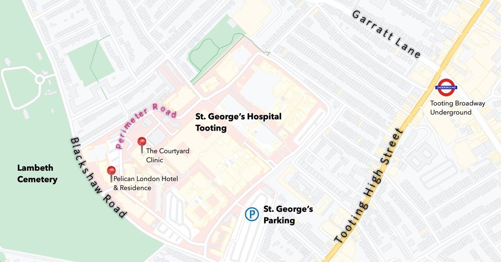
STANDARD MAP
This map gives a general idea of the Courtyard Clinic's location within the hospital grounds. A close landmark is the Pelican London Hotel & Residence.
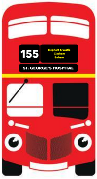
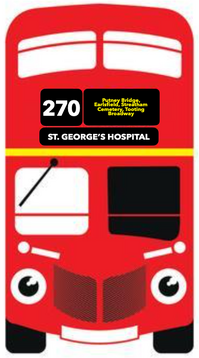
![]() By Bus
By Bus
If you're travelling from any of the following areas
155
Kennington, Oval, Stockwell, Clapham, Balham and Upper Tooting.
270
Putney Bridge, Wandsworth Park, Southside Shopping Centre, Earlsfield Station, Burntwood Lane, Streatham Cemetery, Tooting Broadway
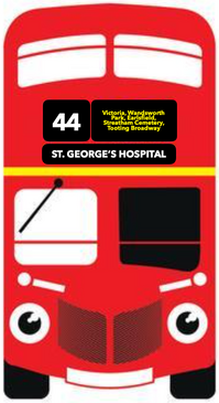
44
Victoria Station, Battersea Park, Wandsworth Town Hall, Earlsfield Station, Burntwood Lane, Streatham Cemetery, Tooting Broadway
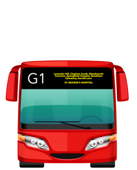
G1
Lavender Hill, Clapham South, Wandsworth Common, Trinity Road, Springfield University Hospital, Streatham Cemetery, Garratt Lane,
Tap/Click on any bus to show their complete route to St. George's Hospital.
![]() By Train
By Train
If you're travelling to the hospital by train, then the Thameslink National Rail from Luton to Sutton, stops at Merton South BR Station.
Tap/Click on the train to see all of the stops on route.

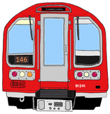
![]() By Tube
By Tube
If you're travelling to the hospital by the London Underground, then a tube from Morden through to Edgeware stops at Colliers Wood and Tooting Broadway.
Tap/Click on the tube train to see all of the stops on route.
EVEN MORE INFORMATION
We've used the web version of the finding your way around the UK mobile phone app, moovit. Click on the logo to see other routes to get to the clinic and the hospital.

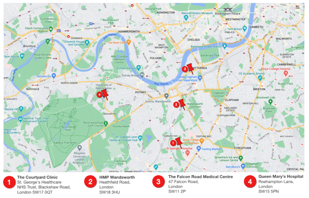
HUB AND SATELLITE CLINIC LOCATIONS
The following map provides the location of the satellite clinics and an indication of the proximity to their hub, The Courtyard Clinic.